HydroRepo Products
Subscription Options are availabe in Pricing - Email [email protected] to organize a Trial.
QMydro
QMydro is a catchment analysis tool directly within QGIS as a plugin or as a standalone executable. Watch the tutorial here.
Download the latest versions of QMydro
Download QMydro for QGIS 3Download QMydro for QGIS 4
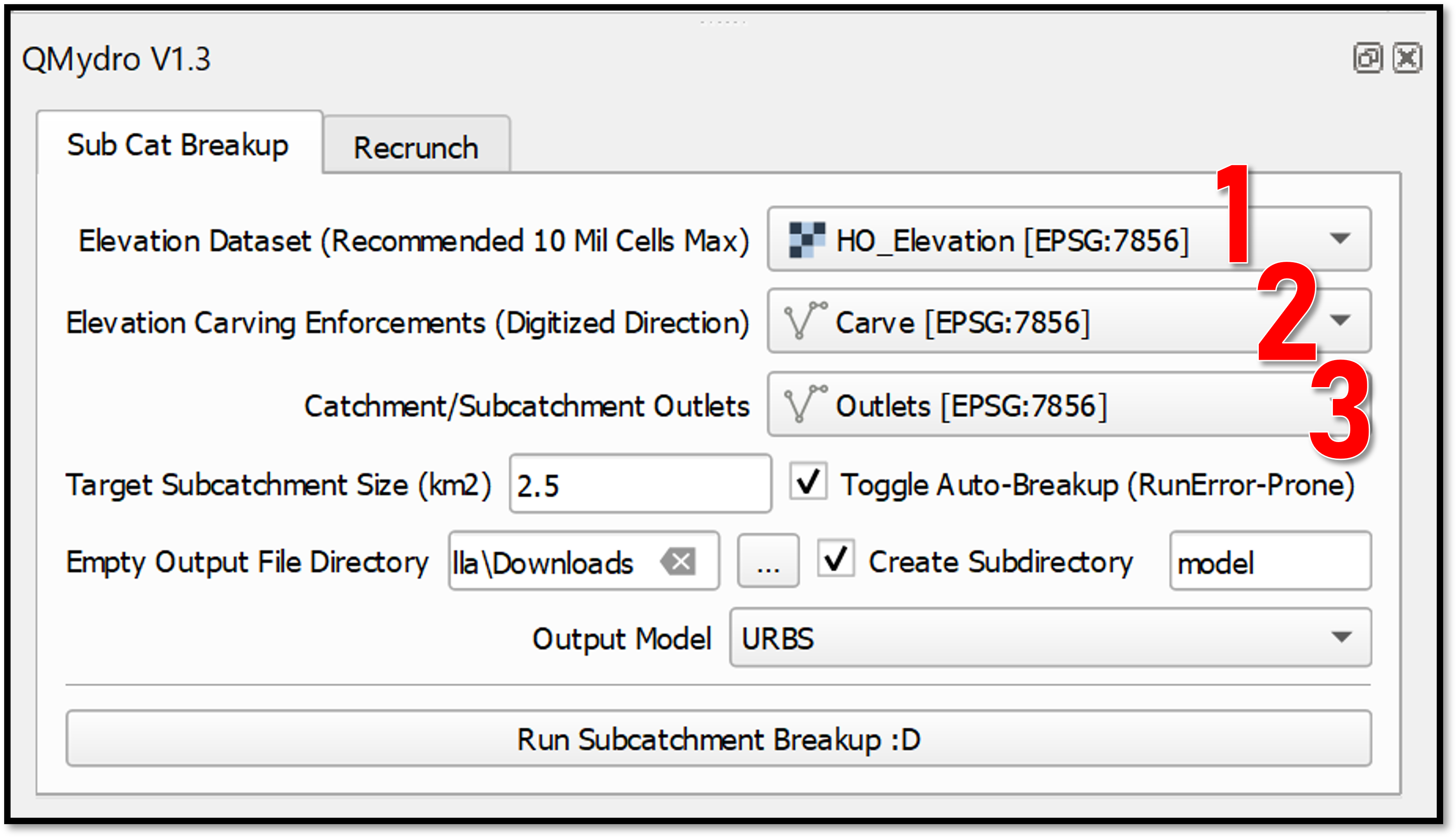
- Source a DEM capturing the topography of the entire catchment of interest.
- Enforce hydraulic controls (Culverts) through the DEM with a Carving Enforcements Layer (Shapefile).
- Specify an outlet by digitizing a line feature over the cross-section of the channel in the DEM.
Mydro
Mydro is a standalone hydrologic runoff routing model designed with the philosophy that CSVs are the GOAT. It supports rainfall data from a CSV database similar to TUFLOW, along with rating curves, storages, and catchment datafiles.
Download Mydro